Overview
The Indoor Navigation Laboratory is a dedicated space for development, test and measurement of positioning and navigation solutions. It has been developed in a joint effort from the Navigation & Positioning and the Geomatics Research Units, partially funded by FEDER under the 5GLab project.
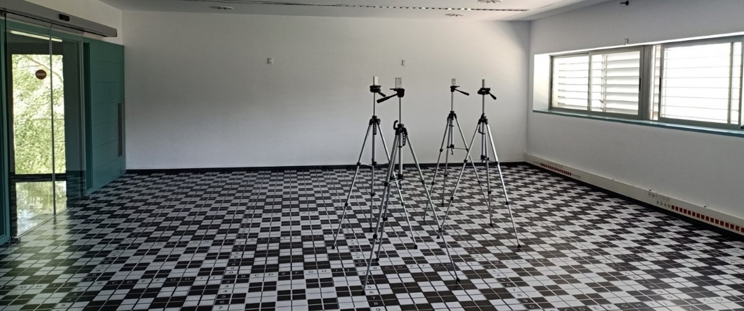
The lab is composed of a clean dedicated space for test and measurements with marked vinyl floor that facilitates visual location and position of equipment, targets, etc. The floor is marked every 20cm. It also includes reference points that have been referenced with high accuracy using a total station during the calibration and set-up phase. The floor is marked every 20cm. It also includes reference points that have been referenced with high accuracy using a total station during the calibration and set-up phase.
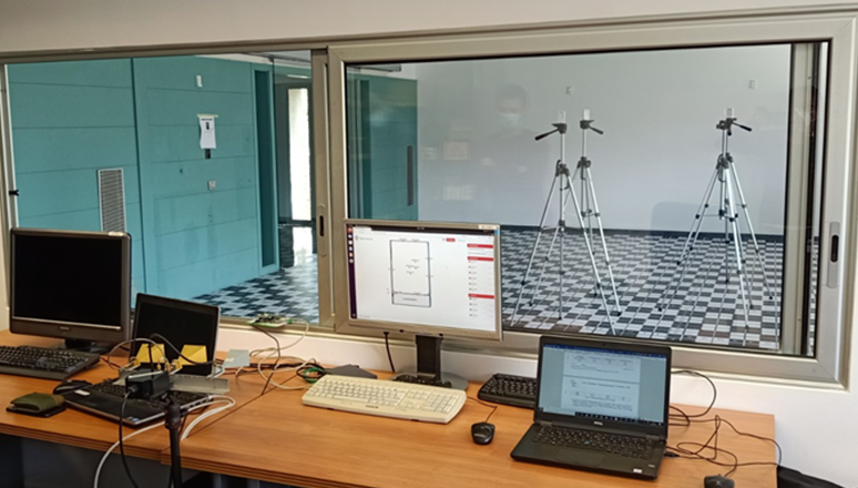
The floor reference locations are complemented with wall and ceiling locations that can serve as to host anchors during measurements and test campaigns. In particular, the lab is equipped with several sets of UWB anchors, target nodes and development kit, lidar and ultrasound sensors, as well as an optical lighthouse system. Radar equipment is also available, including a FMCW radar at 24 GHz (K-Band) development kit and a SDR (Software Defined Radio) development platform aimed for developing new radar systems up to 6 GHz (C-Band). Additional equipment includes a set of IEEE 802.11p OBUs compatible with ITS-G5.
The lab includes a separate isolated control room that offers full visibility of the test room while ensuring protection in the case of flying devices are being tested. The control room offers control software equipment, including several workstation and monitors, as well as a dedicated basic laboratory working station.
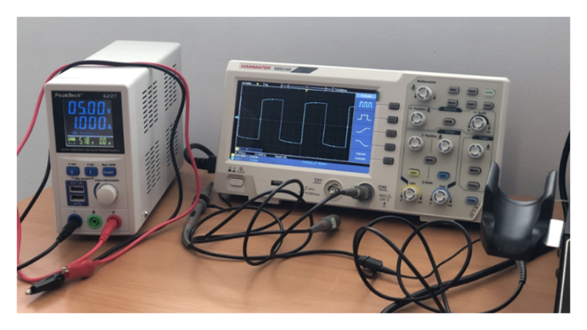
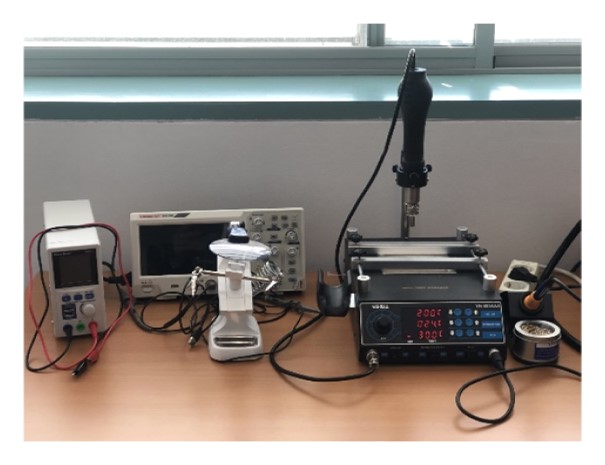
The workstation is composed of basic lab equipment for mounting and measurement, such as a hot-air reworking digital station, a digital oscilloscope, SMD welding pliers, a tester, supporting devices for placing anchors, terrestrial robots and small drones for navigation support.
CTTC’s own positioning and navigation prototypes (TIMON, IOPES’s helmet) could be also arranged for its use.
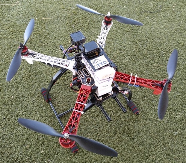
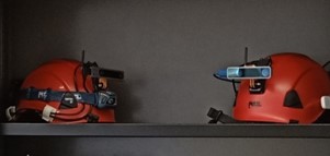
Furthermore, innovative devices implemented by the Geomatics Research Uniy are also available, among which a novel 24 GHz FM Radar and some prototypes of Active Reflectors working at C band for Spaceborne applications.
